
Where in the World- A Geography Unit Study
There are some lessons you teach because they need to be taught—and then there are those magical unicorn lessons where the kids are learning, moving, solving problems, and asking, “Are we doing this again next week?”
This geography unit study was definitely the second kind.
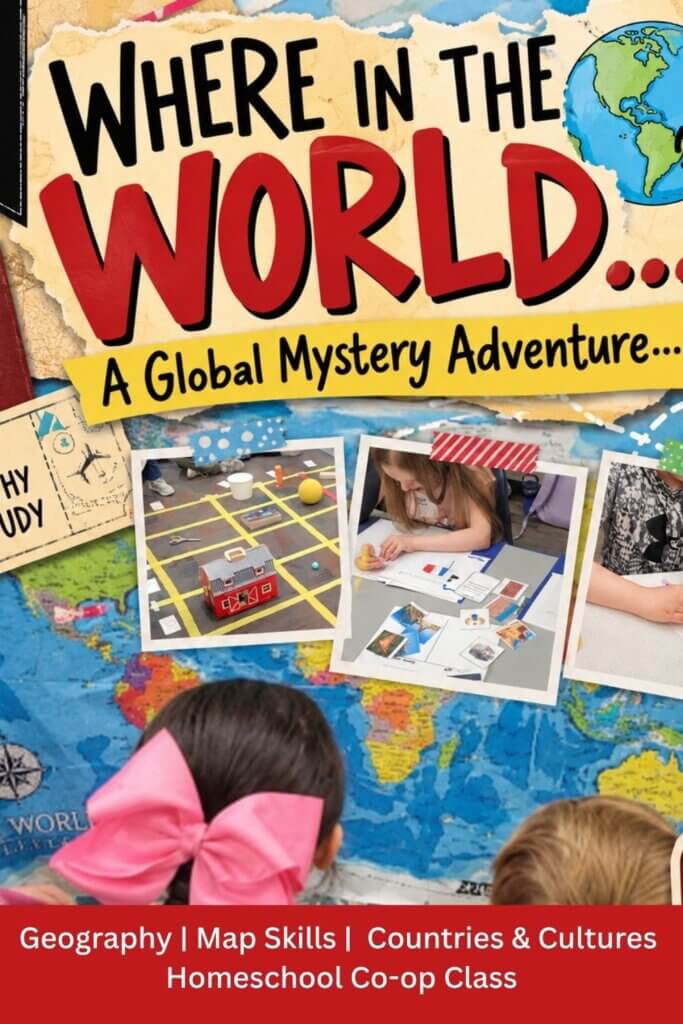
I created Where in the World? A Global Mystery Adventure for my 2nd–4th grade co-op class because I wanted to teach geography and map skills without spending 12 weeks pointing at maps and asking children to memorize things.
Because nothing says thrilling quite like, “Okay kids, everyone find the Prime Meridian.”
Instead, I wanted them to use the maps. I wanted them solving clues, learning about other cultures, finding coordinates, tasting foods, creating things, moving around the classroom, and—most importantly—having a reason to care about where all these places were.
So, naturally, we turned geography into a mystery.
Around the World in 12 Weeks

The premise of the unit was simple: each week, our young detectives traveled to a new part of the world.
But there was a catch.
They didn’t immediately know where they were going.
Students had to gather clues, complete activities, and use what they were learning to figure out which country we were visiting.
Over the course of 12 weeks, we traveled to Mexico, Canada, Peru, France, Egypt, India, England, Japan, Australia, South Africa and Kenya, Italy, and finally China.
And while the countries made the unit fun, there was actually quite a bit of geography happening underneath all the detective work.
We covered:
- Continents
- Latitude and longitude
- Map keys
- Coordinates
- Landforms
- Bodies of water
- The five oceans
- Rural, suburban, and urban communities
- Continents, countries, states/regions, and cities
- General map-reading skills
I intentionally built the map skills on one another so that by the end of the unit, students weren’t just remembering random geography vocabulary—they were actually using several skills together to understand a map.
Related Products: Geography Bingo
What Our Geography Class Looked Like
One of my biggest goals was to keep the class moving.
These are elementary students. I love them dearly, but I also know that asking them to sit quietly while I talk about geography for an hour is basically an invitation for someone to begin slowly sliding under the table.
So our lessons were divided into shorter pieces.
We typically began together with a mini map lesson. This was where I introduced that week’s geography concept. I kept this portion intentionally short and then immediately gave students an opportunity to do something with what they had learned.
After that, the real adventure began.
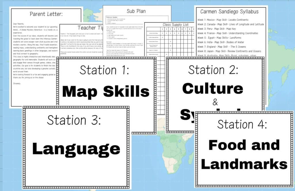
Students worked through activities and stations involving the mystery country. Depending on the week, they might investigate cultural symbols, decode a secret message, identify landmarks, work with a map, learn about traditional foods, complete a craft, or solve a puzzle.
Each piece gave them a little more information about our destination.
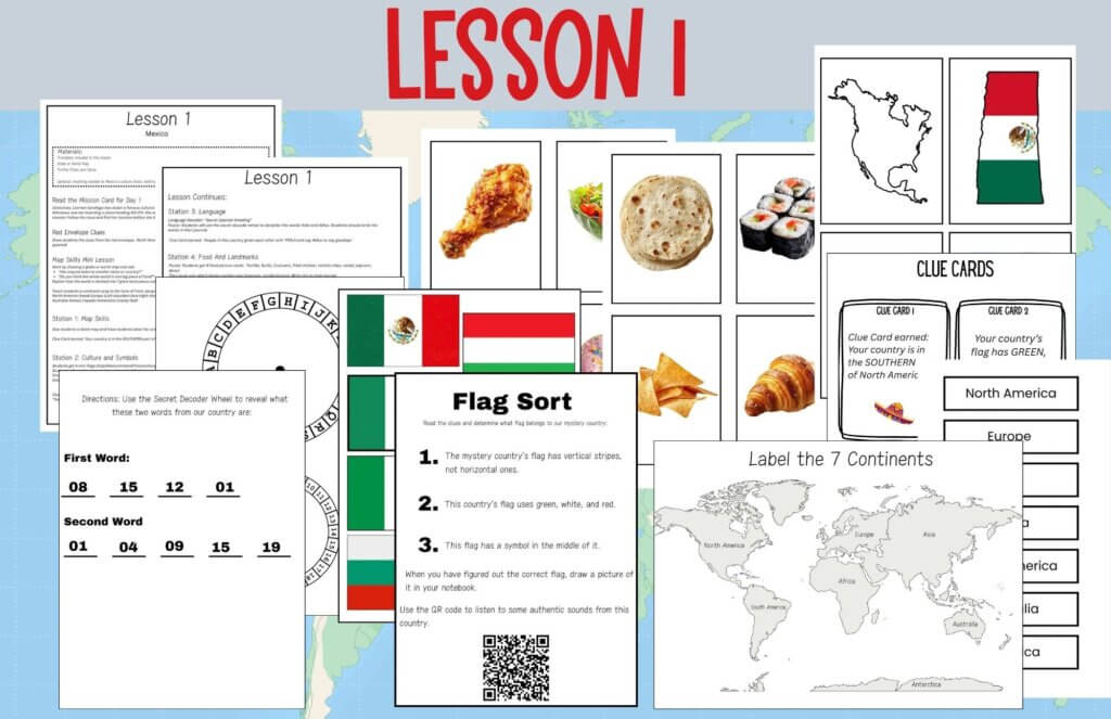
The Red Envelope Clues
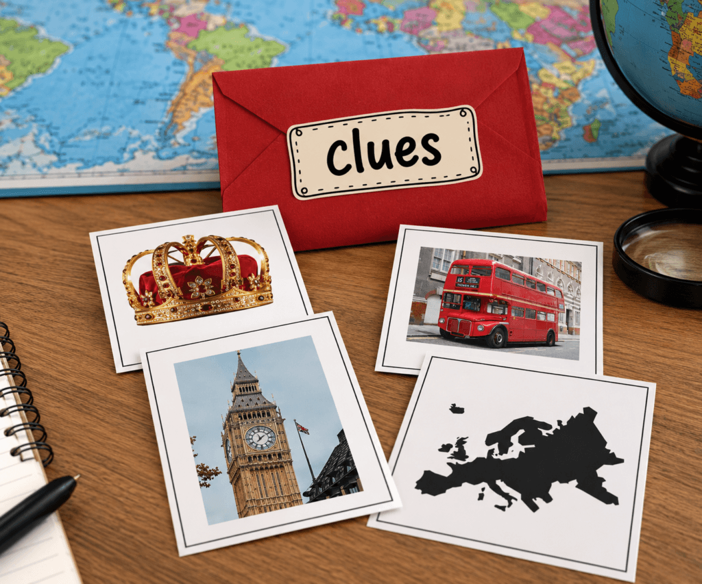
One of the simplest parts of the unit also became one of the most fun: the clues.
Each country had clues that helped students narrow down their mystery location.
They might discover that their country was located on a certain continent, was home to a famous landmark, had a recognizable flag, or was known for a particular animal or food.
Rather than starting class with:
“Today we’re learning about France.”
We could start with a mystery.
Where are we going? What do these clues have in common? What can we figure out from the map?
Suddenly, students had a reason to pay attention to all those little details.
And I am always a fan of sneaking learning into something that feels suspiciously like a game.
Related Post: Map Activities for Kids
Learning Map Skills by Actually Using Maps
Each destination also had its own map skill focus.
In Mexico, we started with the continents. Canada introduced latitude and longitude. In Peru, students learned how a map key works. France gave us a chance to work with coordinates.
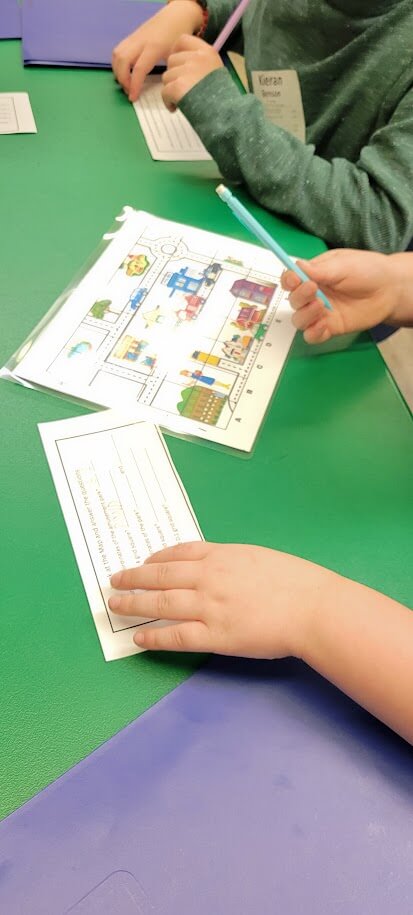
By the time we arrived in Egypt, we were exploring landforms, and India helped us investigate different bodies of water.
England was all about learning the five oceans, and Japan gave us an opportunity to review continents and oceans together.
When we traveled to Australia, we moved into rural, suburban, and urban communities. Then our South Africa and Kenya lesson helped students understand how geographic locations move from large to small—continent to country to state or region to city and community.
Italy became a big review.
And then came the finale.
But I’ll get to that.
We Did a Lot More Than Look at Maps
I wanted the cultural portion of the unit to feel just as hands-on as the geography.
In Peru, for example, students encountered Machu Picchu, llamas, traditional weaving, the Andes Mountains, pan flutes, and foods that grow at high elevations.
In France, we explored recognizable cultural symbols and landmarks like the Eiffel Tower, Arc de Triomphe, Notre-Dame, baguettes, berets, and the fleur-de-lis. Students even encountered a cheerful “Bonjour!” along the way.
Egypt gave us pyramids and the Nile while providing the perfect backdrop for our landforms lesson.

When we traveled to India, our study of bodies of water fit naturally with the country’s geography, while spices gave us a completely different way to explore Indian culture.
And because geography apparently makes me hungry, food continued to find its way into quite a few lessons.
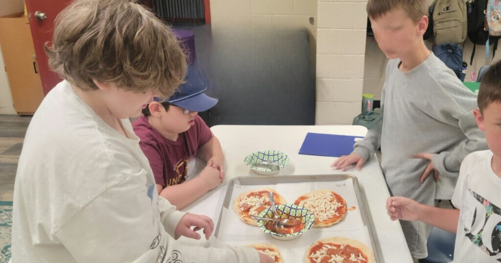
I regret nothing.
From Origami to Boomerangs
Some weeks called for a craft.
For our Japan lesson, students made a Japanese-inspired origami fox while learning more about the country and its culture.
When we reached Australia, we learned about the history of the boomerang and students designed their own.
These activities weren’t meant to be elaborate art projects that required me to arrive at class with three hot glue guns, 47 obscure craft supplies, and the emotional fortitude of an elementary art teacher.
They were short, manageable activities that gave students another connection to the place we were studying.
That is my favorite kind of co-op craft.
Get Them Out of Their Seats!
We also incorporated movement whenever we could.
For one of our review activities, I placed signs for continents, oceans, and countries around the classroom.
Then I read clues such as:
“I am the ocean between North America and Europe.”
Students had to move to the Atlantic Ocean sign.
Another clue might send them to Italy, Africa, Japan, or the Pacific Ocean.
It was simple, required almost no complicated setup, and gave me a very quick way to see whether students actually understood the material.
Plus, when you teach elementary students, there is a direct correlation between how long they have been sitting and how creatively they begin using their chairs.
Movement is our friend.
Using a Giant Floor Map
One of the activities that really brought map concepts to life was creating a large map right on the floor.

Instead of only seeing coordinates as little boxes on a worksheet, students could physically interact with the grid and work through location challenges themselves.
Activities like this were exactly what I wanted from the unit.
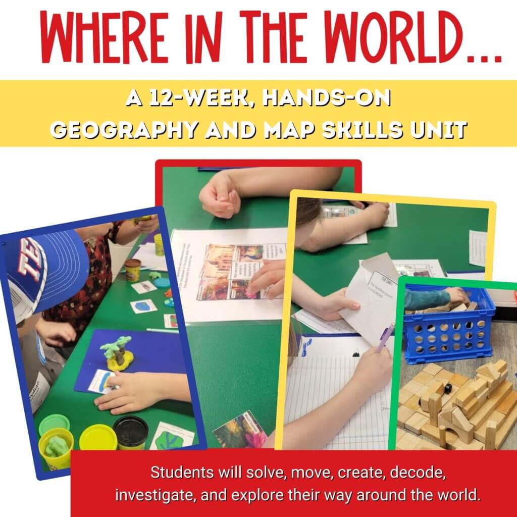
We still used worksheets and traditional maps when they made sense, but whenever I could turn an abstract geography concept into something students could touch, move through, manipulate, or solve, I did.
For some kids, that is the moment the concept finally clicks.
Every Country Gave Us Something Different
As the weeks went on, students began making connections between the countries.
They could recognize landmarks.
They remembered greetings.
They compared foods.
They noticed which countries were on the same continent.
They could look at the map and think about which ocean was nearby.
And little by little, all of those individual lessons started becoming one larger picture of the world.
That was exactly what I wanted.
I wasn’t trying to create tiny geography professors who could recite every capital city before snack time.
I wanted them to become curious about the world and confident enough with a map to begin exploring it.
The Final Geography Challenge
By Week 12, I didn’t want to introduce another completely separate map skill.
They had learned enough.
Now it was time to see if they could use it.
So our final lesson became a culmination of the entire adventure.
Students worked through challenges that pulled from skills we’d practiced during the previous 11 weeks.
They revisited continents and oceans, latitude and longitude, coordinates, map keys, landforms, bodies of water, communities, countries, landmarks, and cultures.
At each station, students earned another piece of a puzzle.
And slowly, the final destination began to appear.
China.
Our detectives had finally tracked down their mystery traveler.
We wrapped up our adventure with a short study of China, including the Great Wall, giant pandas, the Yangtze River, Mandarin Chinese, and some of the country’s geography and traditions.
And, of course, we had to finish with one final game.
True or False: How Much Do You Remember?
For our last activity, we played a giant True or False game using facts from the entire semester.
- Was Machu Picchu in Peru?
- Is Japan next to the Atlantic Ocean?
- Does “Ciao” come from Italy?
- Do latitude lines run east to west?
- Is Australia both a country and a continent?
The questions jumped between countries, landmarks, cultures, oceans, landforms, and map skills.
What I loved most was that this didn’t feel like a test.
But secretly?
It absolutely let me see how much they remembered.
Teacher trickery at its finest.
What I Loved About Teaching Geography This Way
The biggest win from this unit wasn’t that my students could tell me where France was or identify the Pacific Ocean.
Those things matter.
But what I really loved was watching geography become something interactive.
Maps weren’t just pictures hanging on the wall anymore. They were tools students could use to solve a problem.
A country wasn’t simply a shape they needed to memorize. It was connected to people, foods, languages, landscapes, landmarks, and traditions.
And every week gave us another little piece of a much bigger world.
For elementary students, I think that’s a pretty wonderful place to start.
Want to Take Your Students on the Adventure?
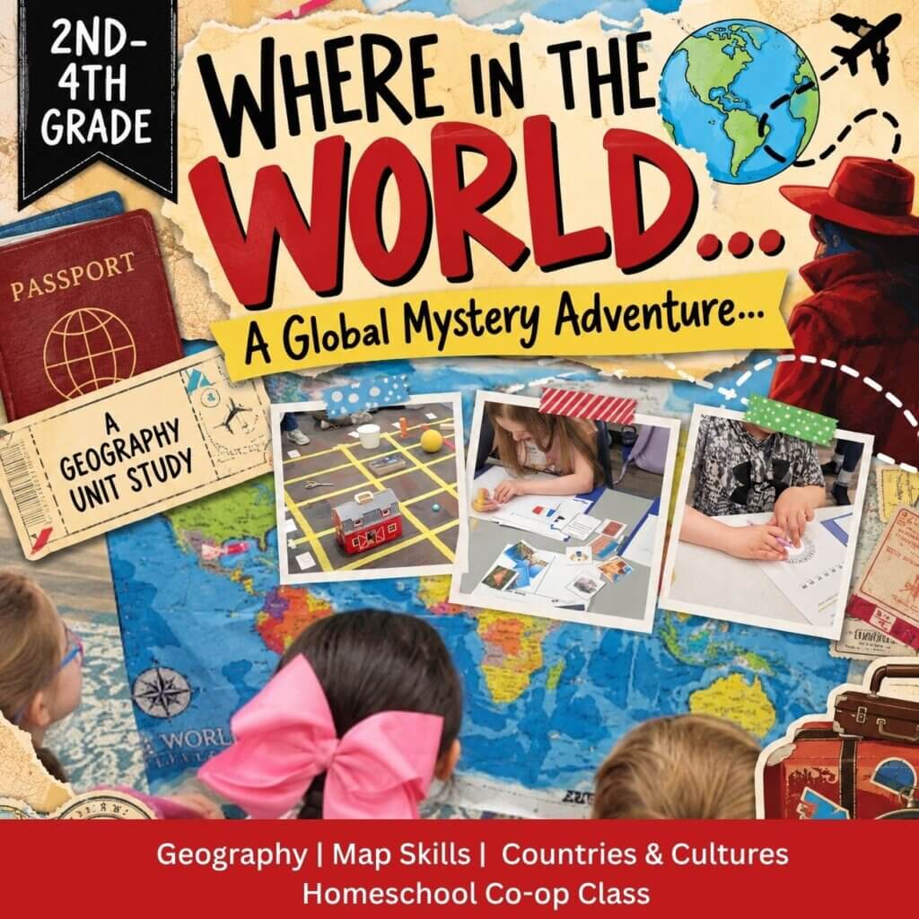
I put together Where in the World? A Global Mystery Adventure for 2nd–4th grade students and designed it to work especially well for homeschool co-ops, homeschool families, elementary classrooms, enrichment classes, and small groups.
Where in the World- A Global Mystery Adventure Homeschool Co-op Class
Where in the World…? A Global Mystery Adventure is a 12-week, hands-on geography unit designed for students in 2nd–4th grade. Each week, students follow clues to a mystery destination while learning about countries, cultures, famous landmarks, foods, languages, and important geography and map skills.
The full unit takes students through 12 weeks of geography and cultural exploration, with map skills intentionally woven throughout the adventure.
Because apparently my idea of a good time is turning latitude and longitude into a mystery game.
And you know what?
It worked.

Angela is the Homeschool Encourager for the Overwhelmed & Under-Caffeinated and the Chaos-to-Confidence Specialist behind Schooling with Grace. With a no-fluff approach, a dash of humor, and a whole lot of heart, she helps homeschool moms cut through the chaos, ditch unrealistic expectations, and teach with confidence.